Published Date: Aug. 22, 2025, 12:03 p.m. || Abin Prajapti 333 views
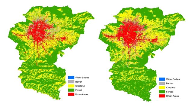
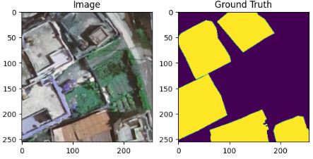
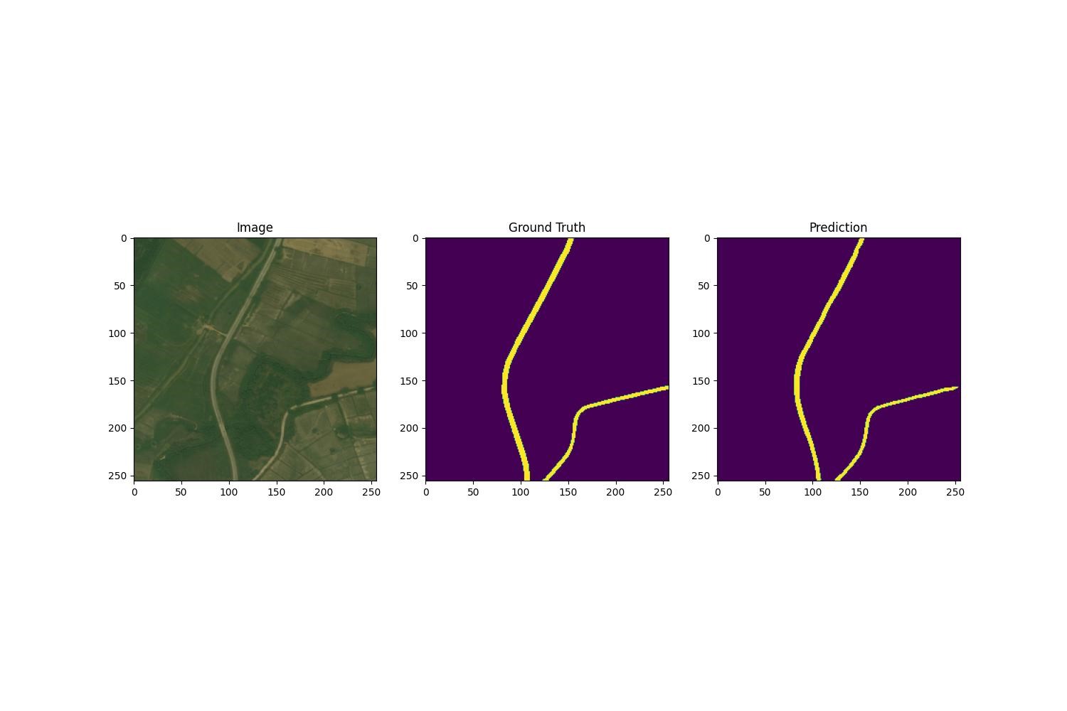
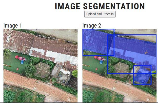
The Bhaktapur Buildings Dataset consists of high-resolution aerial images with their corresponding masks of the Bhaktapur area, with each of the images being 300x300 pixels. The data is split into a training, testing, and validation data set in a ratio of 0.75:0.15:0.15. The dataset covers mostly urban and suburban areas and buildings of all sizes. This dataset can be used for semantic segmentation of the high-density residential areas.